


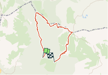

7.4 km | 16.5 km-effort

Tous les sentiers balisés d’Europe PRO


FREE GPS app for hiking
 SityTrail
IGN / Geographical institutes
SityTrail World
The world is yours!
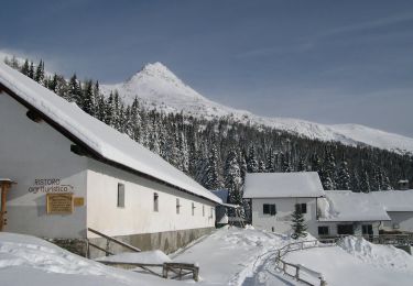
Trail On foot of 7.5 km to be discovered at Veneto, Belluno, Auronzo di Cadore. This trail is proposed by SityTrail - itinéraires balisés pédestres.
Trail created by Club Alpino Italiano.
Symbol: 108A on white red flag


On foot
On foot


On foot

On foot